Drone Mapping & Surveys
How our drone mapping services can benefit you
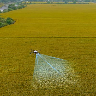
Our drone mapping service provides high-resolution aerial surveys for farms, estates, and rural landowners across North Wales. Using industry-leading UAVs and photogrammetry software, we deliver detailed field maps, 3D terrain models, and accurate measurements all without stepping foot on your land.
- Rapid data collection across large or remote areas
- Generate orthomosaic maps, contour lines, and elevation models
- Perfect for field planning, drainage work, compliance, and more
- Reduced survey time compared to traditional methods
- Ideal for agricultural, environmental, and land management use
Whether you’re planning a new cropping system, monitoring erosion, or applying for rural grants, our drone maps give you the accurate insight you need, safely, quickly, and affordably.
Services include:
- High-resolution orthomosaic mapping
- Digital Elevation Models (DEM & DSM)
- Field boundary and acreage measurement
- Tree canopy and hedgerow mapping
- Topographic surveys for drainage planning
- Environmental monitoring and habitat mapping
Available across Flintshire, Wrexham, Gwynedd, Anglesey, Conwy, Denbighshire, and Snowdonia.